
Big Schalke-Bocksberg route
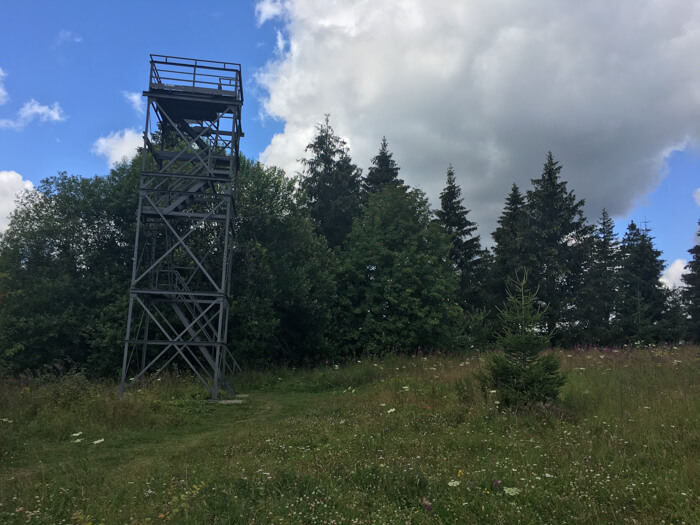
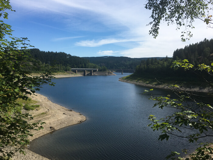
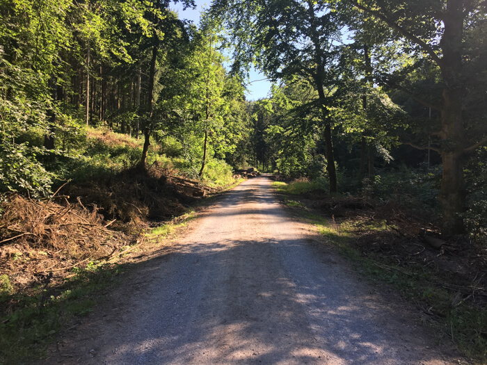
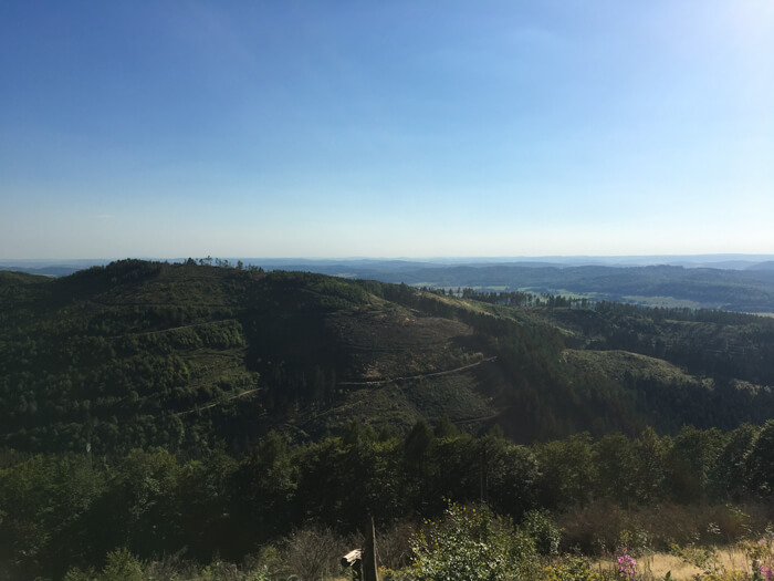
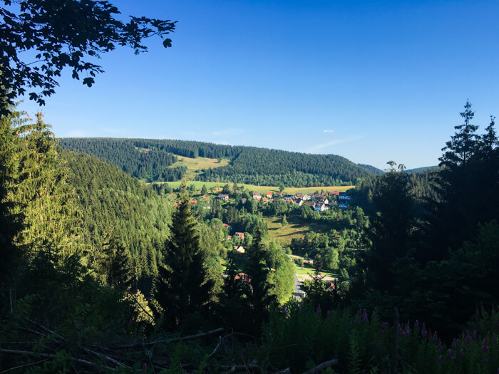
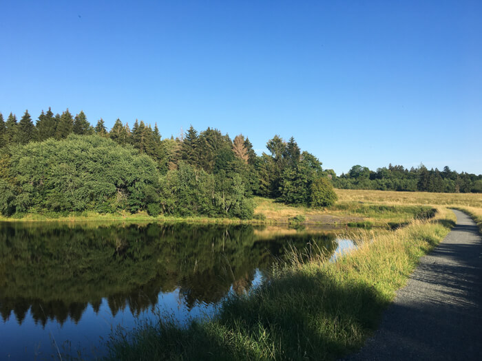
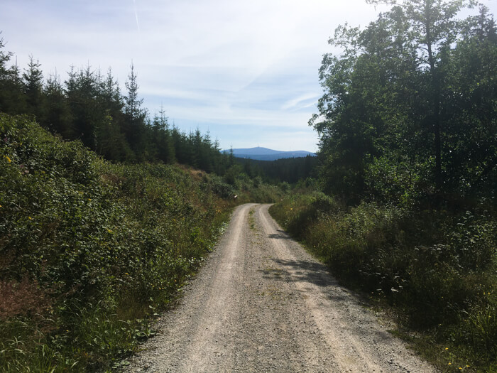
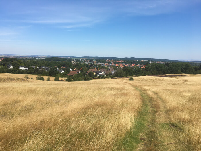
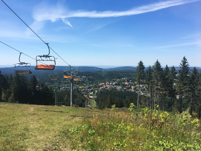
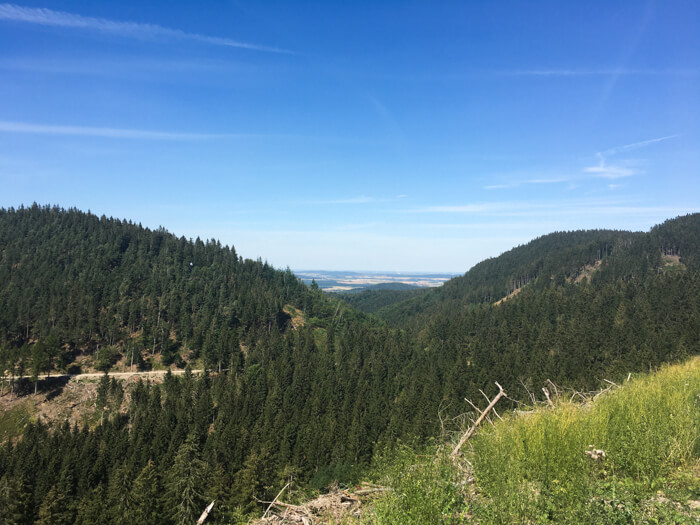
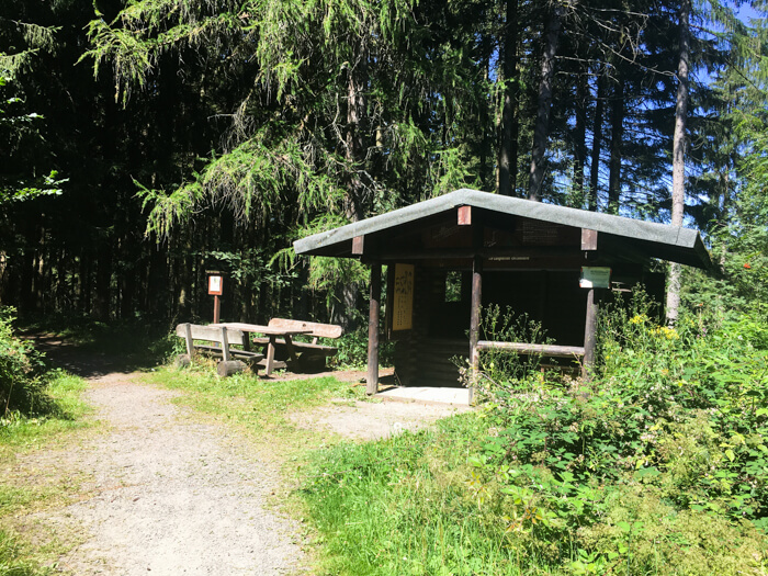
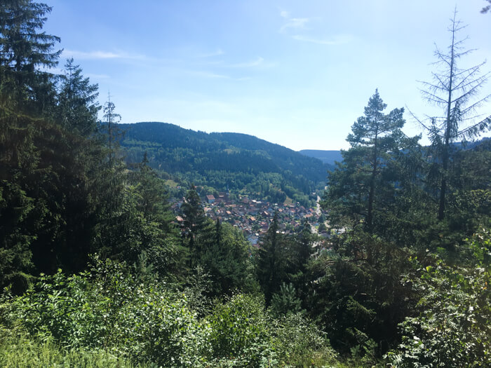
Demanding mountainbike tour starting in Hahnenklee, crossing Oberharzer mountain valleys and the mountain peaks of Schalke and Bocksberg: The tour begins with varied descents in Grane-, Innerste and Schildautal valley near Seesen. From here it goes with steep ascents and descents, beautiful views and a few ponds over the mountain town of Wildemann to Clausthal-Zellerfeld. After about two thirds of the route, the Schalke is the highest point of the tour. The Schalke lookout tower is the oldest of four steel lookout towers in the Harz mountains and offers wide views of the surrounding Oberharz. The route continues down from the Schalke to the water reservoir Okertalsperre and then crosses the Rammelsberg mountain with a long descent down to the city Goslar. From here the longest ascent of the tour to the Bocksberg starts with around 450 vertical meters and steep inclines. The last descent leads directly from Bocksberg to Hahnenklee.
Data about this mountainbike route

Start and parking
This is a good address to start the tour. There is a larger parking lot nearby. Clicking on the address takes you directly to Google Maps to start navigation there:
GPS-Daten
The tour can be downloaded as a .gpx file and transferred to a GPS-enabled device (e.g. Garmin or smartphone). The tour starts near a larger parking lot. The route is planned so that it can be traveled all year round and in all weathers. Nevertheless, it can happen that due to occasional forestry work in the forest, paths are temporarily closed or have to be pushed in parts.
More routes in Hahnenklee

Brocken-view route from Hahnenklee
Moderate mountainbike tour from Hahnenklee via the city of Goslar towards Hochharz and back through the beautiful Oberharz
Easy lap around the Grumbachvalley
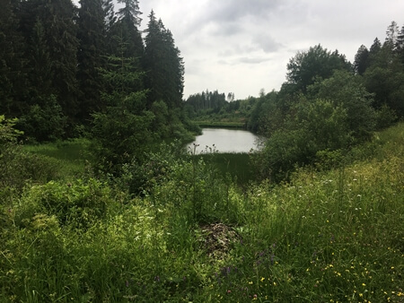
Easy mountainbike tour starting in Hahnenklee, including many ponds of the world heritage Oberharzer Wasserregal and easy climbs
Overview of more routes and spots
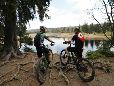
Overview of all route suggestions and further insider information about mountainbiking in the Harz