
2000 meters ascent mountainbike tour
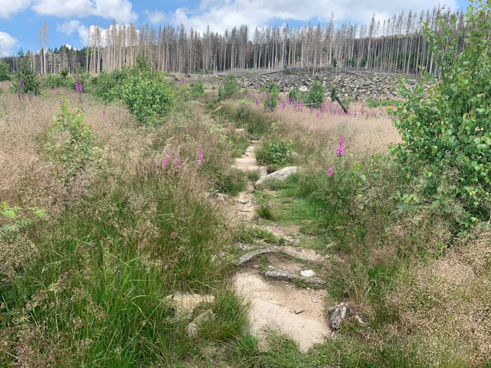
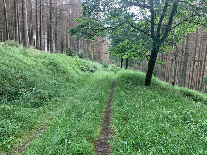
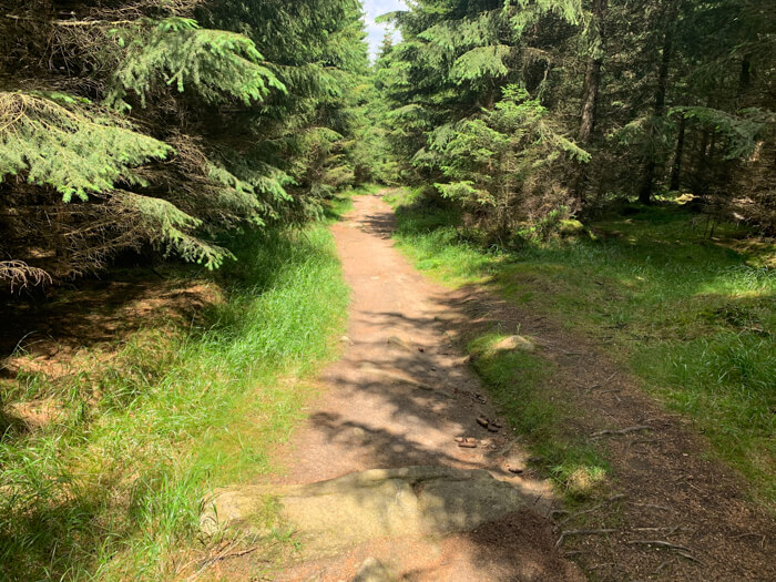
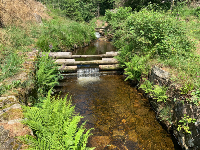
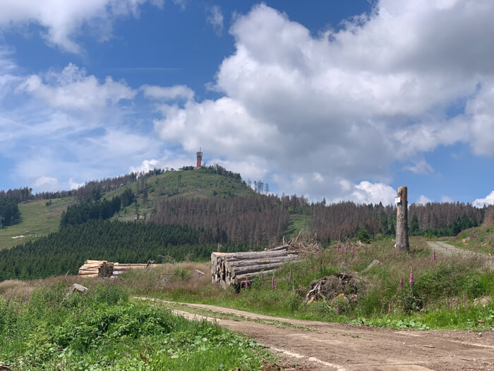
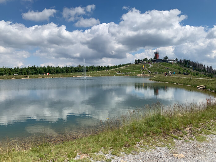
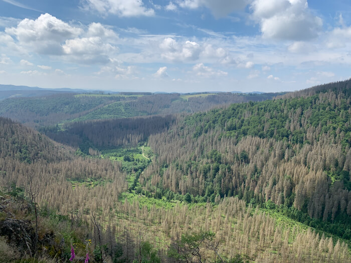
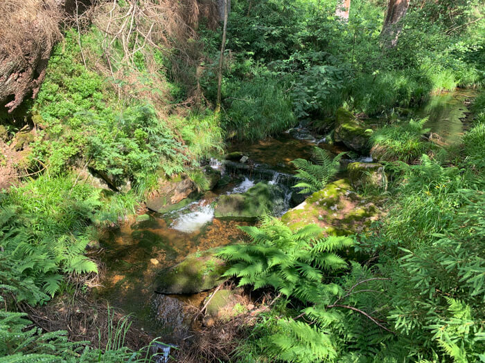
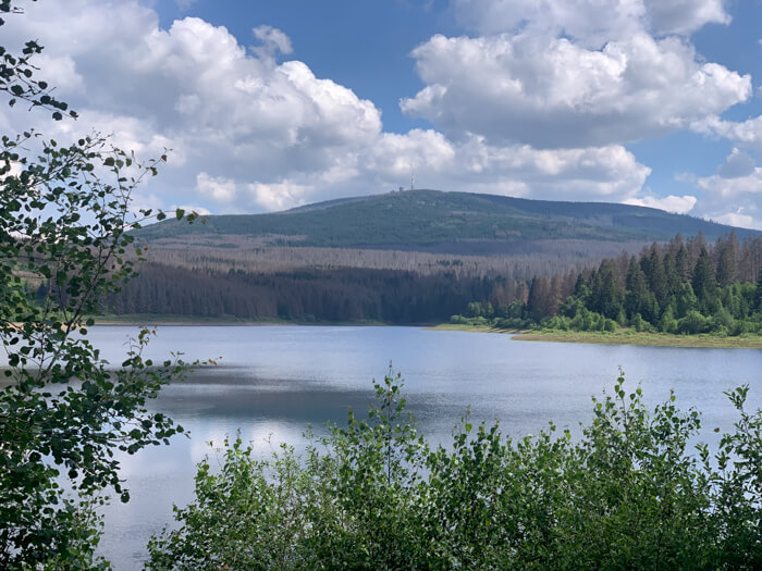
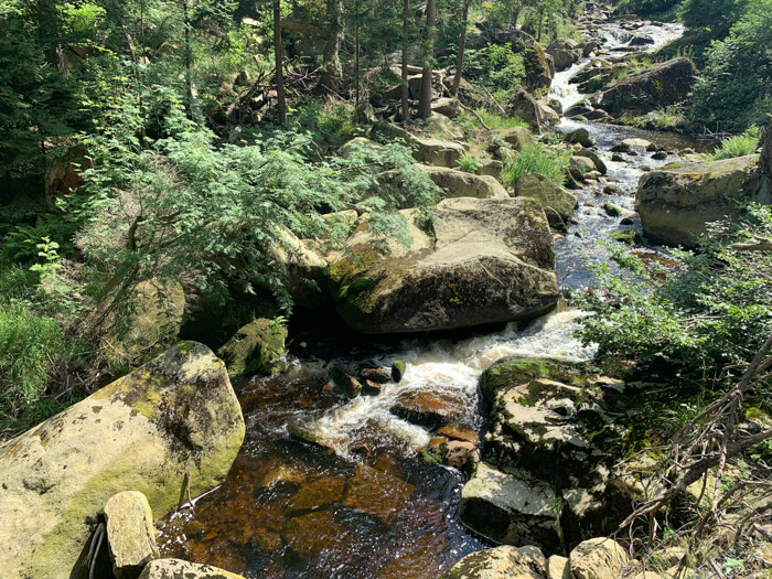
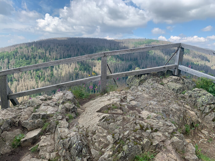
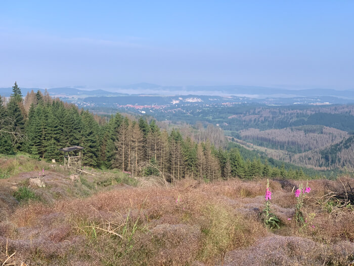
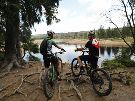
Demanding mountainbike route starting in Altenau with lakes, waterfalls, cliffs, Wurmberg mountain and valleys of the Nationalpark Harz: The route starts with an ascent to the Schwarzenberg mountain near Altenau and then leads through the Nationalpark Harz to the scenic water reservoir Eckertalsperre. From here the tour goes through the Ilse valley along the wild course of the Ilse river past the 'Ilsefälle' waterfalls. Along cliffs in the Hochharz, the route continues through the small town of Schierke and from there to the Wurmberg, which is the highest mountain in Lower Saxony. After a descent, the route crosses the Oder Valley near Braunlage, leads past St. Andreasberg through the Siebertal valley and then over the Acker mountain plateau through untouched nature. It goes downhill into the Sösetal valley and from there through the Oberharz back to the town Altenau.
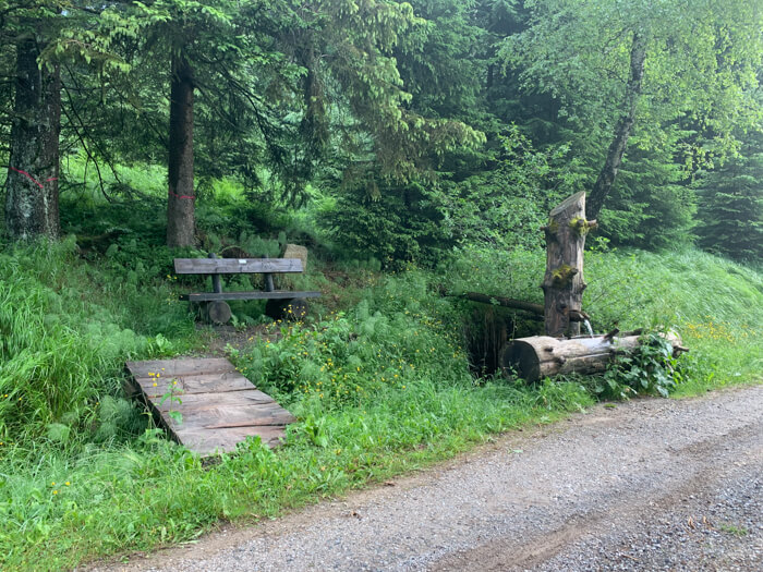
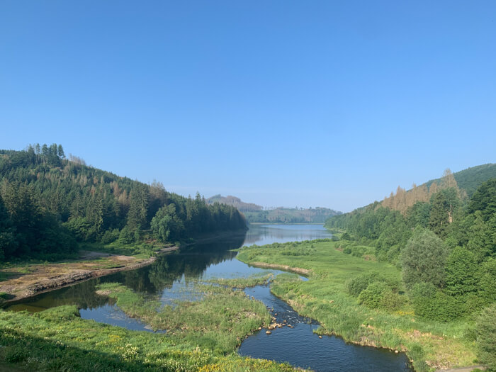
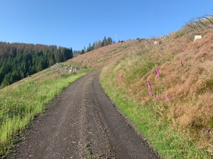
Data about this mountainbike route

Start and parking
This is a good address to start the tour. There is a larger parking lot nearby. Clicking on the address takes you directly to Google Maps to start navigation there:
GPS-Daten
The tour can be downloaded as a .gpx file and transferred to a GPS-enabled device (e.g. Garmin or smartphone). The tour starts near a larger parking lot. The route is planned so that it can be traveled all year round and in all weathers. Nevertheless, it can happen that due to occasional forestry work in the forest, paths are temporarily closed or have to be pushed in parts.
More routes in Altenau
With the Mountainbike on the Brocken
Mountainbike tour starting in Altenau on the Brocken along reservoirs, quarries, waterfalls and through the Nationalpark Harz

Seven dam tour
Beautiful mountainbike route starting in Altenau along historical places in the Oberharz, scenic mountain meadows and seven lakes
Overview of more routes and spots
Overview of all route suggestions and further insider information about mountainbiking in the Harz