Big Knollen route
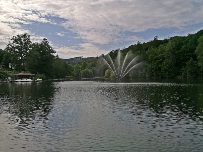
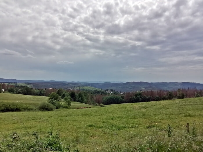
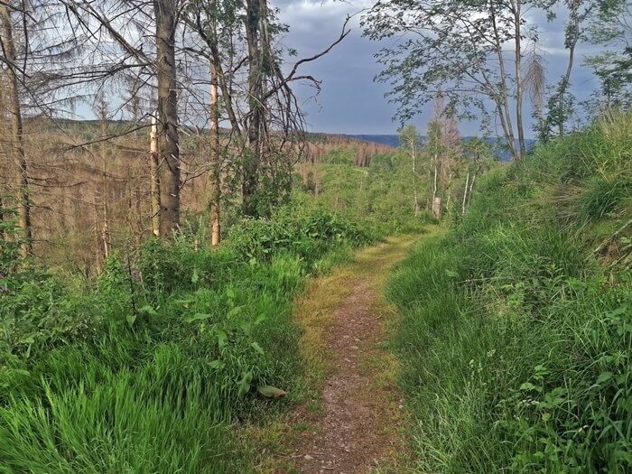
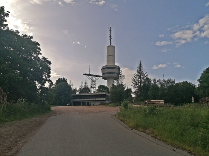
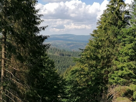
Demanding mountainbike route starting in Bad Sachsa through the southern Oberharz and via Ravensberg, Stöberhai and Grosser Knollen: The tour starts with a small round around Bad Sachsa and then leads along an ascent to the peaks of the mountains Ravensberg and Stöberhai, from where wide views to the southern Harz foreland, southern Oberharz and mountain slopes of the Hochharz are possible. The tour continues through the southern Oberharz to the Nationalpark Harz in the Hochharz. The northernmost point of the route is the beautiful water reservoir Oderteich, which was builded in 1722 for historical mining and is now Germany's oldest water reservoir. From here the route leads around the Rehberg (893m high) and then over mountain meadows around the town of St. Andreasberg into the Siebertal valley. The summit of the mountain Grosser Knollen (687m high) is reached after about two thirds of the tour. The route then leads with a descent to Bad Lauterberg and along the lake 'Wiesenbeker Teich' and the little water reservoir 'Steinaer Talsperre' back to Bad Sachsa.
![Siebertal grosser knollen sieber panorama harz mountain](/images/mtb-routen/grosse-knollen-tour/sieber-grosser-knollen-berg-harz-panorama.jpg)
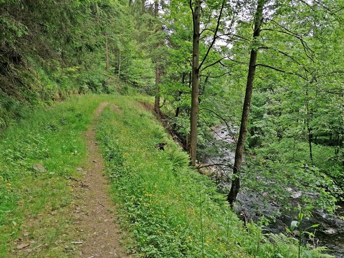
![Sieber (river) trail siebertal mountain bike harz tour](/images/mtb-routen/grosse-knollen-tour/siebertal-mountainbike-trail-tour-harz.jpg)
![Steinatalsperre source steina dam tour mountain bike](/images/mtb-routen/grosse-knollen-tour/steina-talsperre-quelle-mountainbike-tour.jpg)
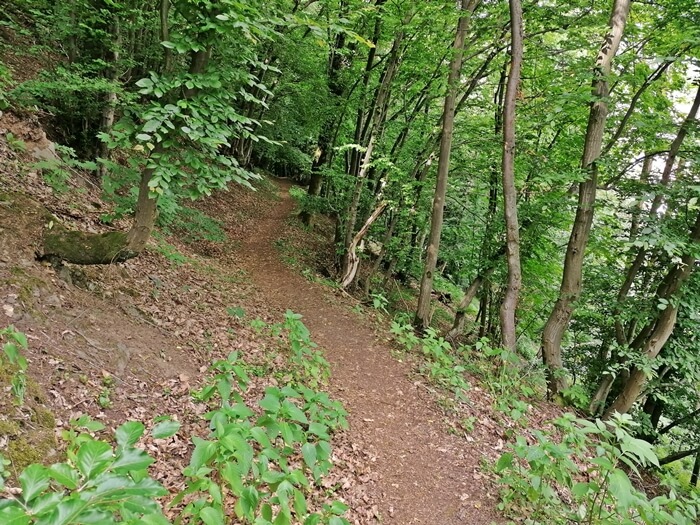
![Trail near Bad Sachsa bad sachsa trail tour mountain bike](/images/mtb-routen/grosse-knollen-tour/trail-bad-sachsa-mountainbike-tour.jpg)
![Grosser Knollen Trail bad sachsa trails harz grosser knollen](/images/mtb-routen/grosse-knollen-tour/trails-bad-sachsa-grosser-knollen-harz.jpg)
![Mountainbike trail mountain bike trail bad sachsa walkenried tour](/images/mtb-routen/grosse-knollen-tour/trail-walkenried-mountainbike-tour-bad-sachsa.jpg)
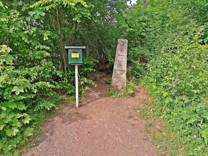
![Wasserscheide/ Hohe Tür bad sachsa wasserscheide bad lauterberg steina harz](/images/mtb-routen/grosse-knollen-tour/wasserscheide-bad-sachsa-steina-bad-lauterberg-harz.jpg)
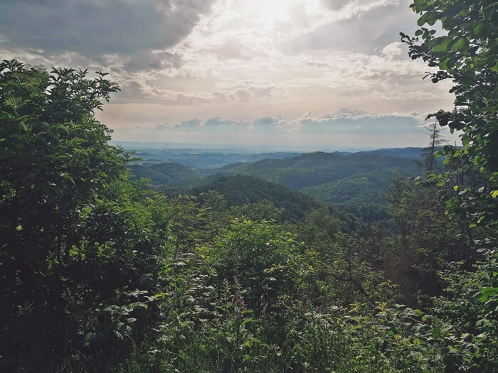
![Panorama mountains outlook panorama south harz bad sachsa](/images/mtb-routen/grosse-knollen-tour/ausblick-panorama-berge-harz-suedharz-bad-sachsa.jpg)
![Local mountain in Bad Lauterberg view harz panorama south bad lauterberg](/images/mtb-routen/grosse-knollen-tour/aussicht-panorma-bad-lauterberg-suedlicher-harz.jpg)
![Old Stöberhaier train station bad sachsa mountain bike train station tour stoeberhai](/images/mtb-routen/grosse-knollen-tour/mountainbike-tour-bad-sachsa-stoeberhai-bahnhof-einkehr.jpg)
![Bad Sachsa / Harz vacations bad sachsa harz health resort](/images/mtb-routen/grosse-knollen-tour/bad-sachsa-urlaub-kurort-harz.jpg)
![Mountain meadows near St. Andreasberg bike tour harz st andreasberg](/images/mtb-routen/grosse-knollen-tour/fahrrad-tour-st-andreasberg-harz.jpg)
![Grosser Knollen Summit mountain bike grosser knollen harz tour](/images/mtb-routen/grosse-knollen-tour/grosser-knollen-mountainbike-tour-harz.jpg)
![Grosser Knollen Trail trails mountain grosser knollen bad sachsa harz](/images/mtb-routen/grosse-knollen-tour/grosser-knollen-trails-bad-sachsa-herzberg-harz.jpg)
![Mountaintown in the Harz Mountains view of the high Harz mountain town bike tour panorama](/images/mtb-routen/grosse-knollen-tour/hochharz-bergstadt-aussicht-panorma-fahrradtour.jpg)
![MTB trail near Bad Sachsa Harz mountain bike bad sachsa trail tour](/images/mtb-routen/grosse-knollen-tour/mountainbike-trail-harz-tour-bad-sachsa.jpg)
![Stöberhai stoeberhai trail mtb bad sachsa](/images/mtb-routen/grosse-knollen-tour/stoeberhai-trail-bad-sachsa-mtb.jpg)
![Rehberg bicycle valley rehberg harz tour](/images/mtb-routen/grosse-knollen-tour/odertal-rehberg-fahrrad-tour-harz.jpg)
![Oder dam view dam harz jagdkopf panorama](/images/mtb-routen/grosse-knollen-tour/odertalsperre-harz-aussicht-panorama-jagdkopf.jpg)
![Oderteich water shelf or pond of the upper Harz reservoir](/images/mtb-routen/grosse-knollen-tour/oderteich-oberharzer-wasserregal-harz-talsperre.jpg)
![Ravensberg Trail bad sachsa ravensberg harz downhill trail](/images/mtb-routen/grosse-knollen-tour/ravensberg-bad-sachsa-trail-downhill-harz.jpg)
![Ravensberg mountains ravensberg stoeberhai harz](/images/mtb-routen/grosse-knollen-tour/ravensberg-stoeberhai-berge-harz.jpg)
![Rehberger Grabenweg Upper Harz rehberger grabenweg world cultural heritage water shelf](/images/mtb-routen/grosse-knollen-tour/rehberger-grabenweg-oberharzer-wasserregal-weltkulturerbe.jpg)
Data about this mountainbike route
Start and parking
This is a good address to start the tour. There is a larger parking lot nearby. Clicking on the address takes you directly to Google Maps to start navigation there:
GPS-Daten
The tour can be downloaded as a .gpx file and transferred to a GPS-enabled device (e.g. Garmin or smartphone). The tour starts near a larger parking lot. The route is planned so that it can be traveled all year round and in all weathers. Nevertheless, it can happen that due to occasional forestry work in the forest, paths are temporarily closed or have to be pushed in parts.
More routes in Bad Sachsa
![Kaiserweg MTB Harz Bad Sachsa Kaiserweg MTB Harz Bad Sachsa](/images/mtb-routen/kaiserweg-mtb-route-beschilderung.jpg)
Kaiserweg MTB-route
Medium-difficulty mountainbike route over the Kaiserweg, the Stöberhai mountain and through the southern Oberharz starting in Bad Sachsa
![Mountainbike Bad Sachsa Harz GPS Route Mountainbike Bad Sachsa Harz GPS Route](/images/mtb-routen/laerchenplatz-mountainbike-runde-harz.jpg)
Lärchenplatz lap
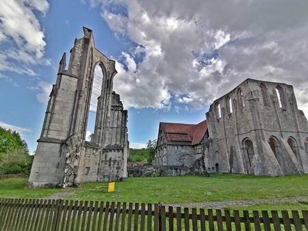
A varied mountainbike tour starting in Bad Sachsa along the Walkenried monastery, many lakes and through the southern Harz
![Mountainbike Harz Mounatinbike Harz](/images/mtb-routen/mountainbike-harz.jpg)
Overview of more routes and spots
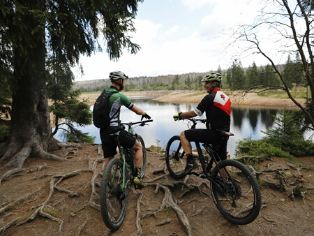
Overview of all route suggestions and further insider information about mountainbiking in the Harz