
Lärchenplatz lap
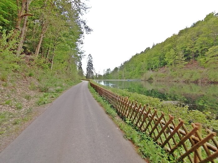
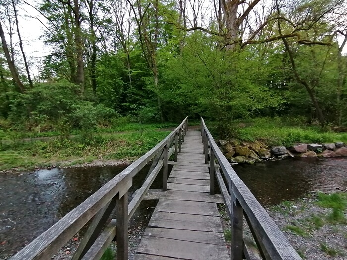
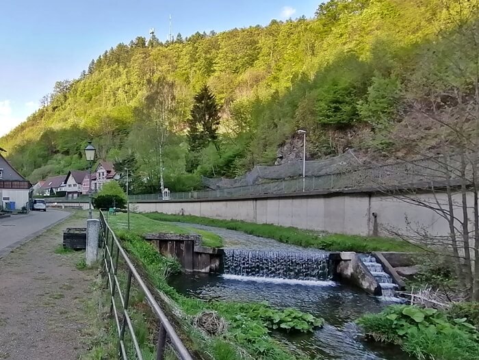
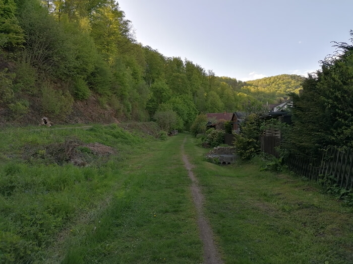
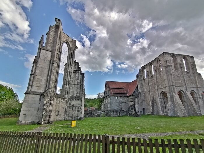
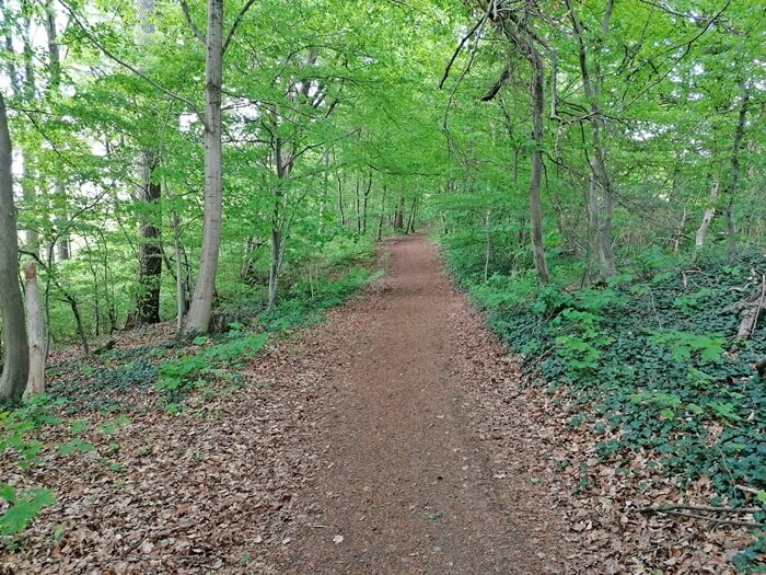
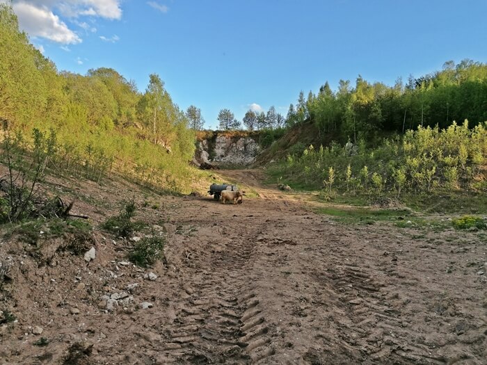
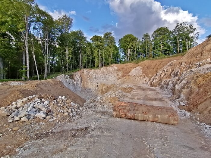
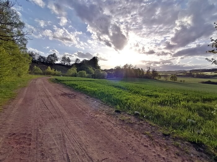
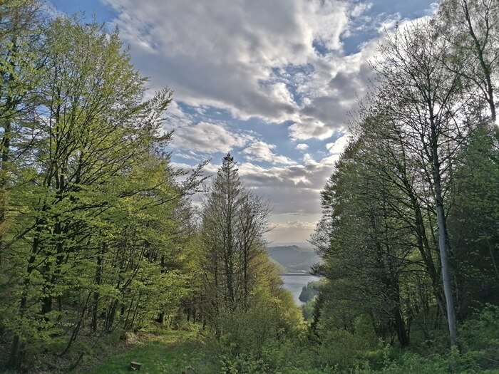
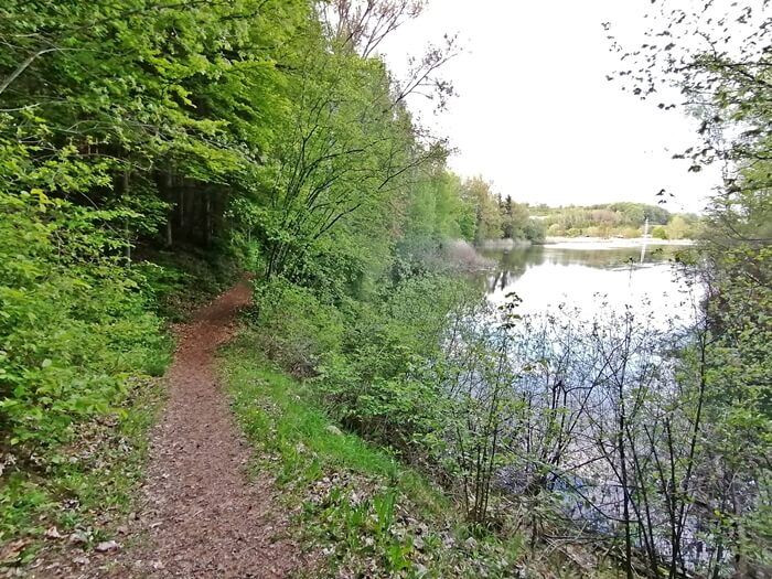
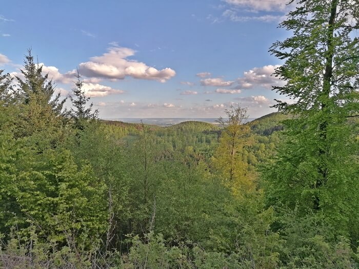
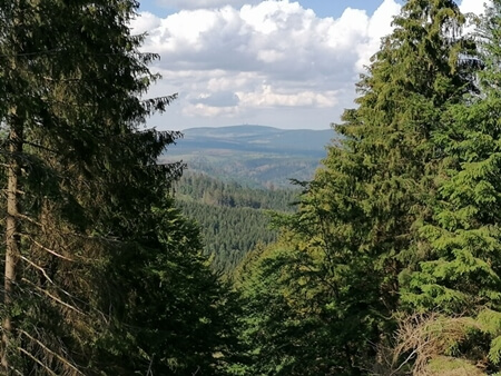
A varied mountainbike tour starting in Bad Sachsa along the Walkenried monastery, many lakes and through the southern Harz: The route starts along nice little lakes in a deciduous forest near Bad Sachsa and leads into the town Walkenried. There the tour leads past the facilities of the Walkenried monastery, which has been partially preserved and partially consists of ruins. The route then follows the course of the Wieda river to the village of Wieda up the valley. From there, the route leads up to the highest point below the Stöberhai mountain with beautiful views over the southern edge of the Harz mountains. With a descent, the tour then follows the course of the river Steinaer Bach, along the small water reservoir Steinatalsperre to the small town of Steina. Between fields, quarries and lakes it goes back to Bad Sachsa.
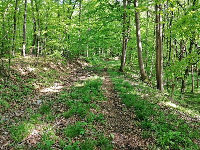
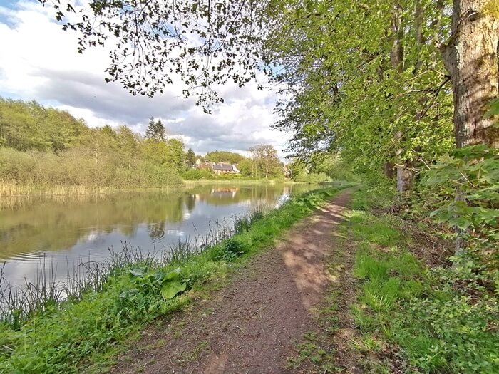
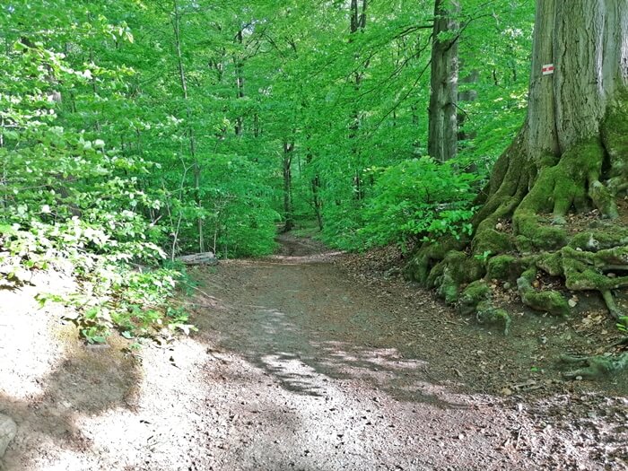
Data about this mountainbike route

Start and parking
This is a good address to start the tour. There is a larger parking lot nearby. Clicking on the address takes you directly to Google Maps to start navigation there:
GPS-Daten
The tour can be downloaded as a .gpx file and transferred to a GPS-enabled device (e.g. Garmin or smartphone). The tour starts near a larger parking lot. The route is planned so that it can be traveled all year round and in all weathers. Nevertheless, it can happen that due to occasional forestry work in the forest, paths are temporarily closed or have to be pushed in parts.
More routes in Bad Sachsa
Big Knollen route
Demanding mountainbike route starting in Bad Sachsa through the southern Oberharz and via Ravensberg, Stöberhai and Grosser Knollen
Kaiserweg MTB-route
Medium-difficulty mountainbike route over the Kaiserweg, the Stöberhai mountain and through the southern Oberharz starting in Bad Sachsa
Overview of more routes and spots
Overview of all route suggestions and further insider information about mountainbiking in the Harz