
Little Hochharz mountainbike route
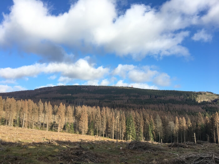
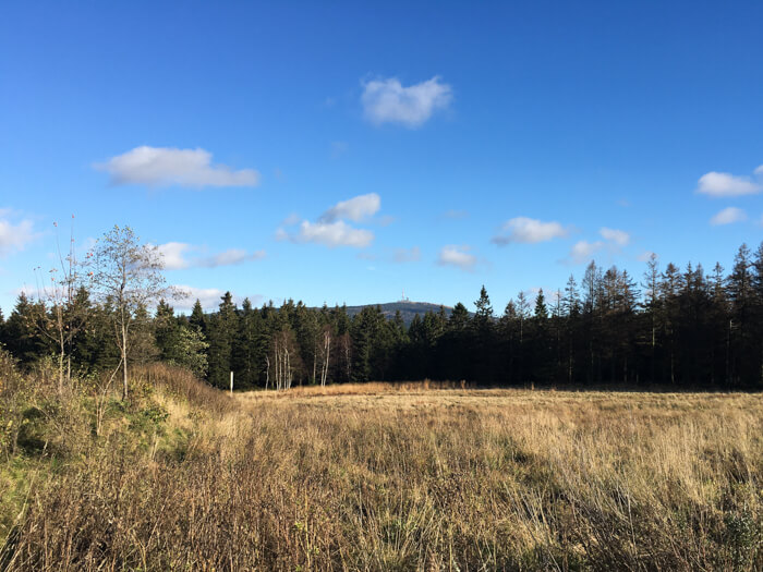
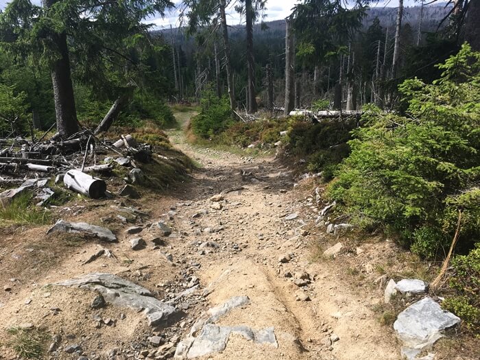
Moderate mountainbike tour through the Nationalpark Harz starting in Braunlage along beautiful paths at the Oberharzer Wasserregal: The tour starts with a long climb on easy paths in the scenic Nationalpark Harz. Here in the Hochharz you can find untouched nature and the colors of the forest create beautiful contrasts. The highest point of the route is the source of the Ecker river and has a small hut. From here you continue slightly downhill through the Nationalpark Harz until you reach Torfhaus. The next section will contain a short but demanding uphill section to a singletrail along the world heritage 'Oberharzer Wasserregal'. The tour then leads through a valley to the Rehberger Graben. The Rehberger Graben is also part of the Oberharzer Wasserregal and the path next to the canal makes it possible to go around the Rehberg mountain (893m high) without many meters of climbing. The route then leads along the beautiful Oderteich and with a view to deep mountain valleys back to Braunlage.




Data about this mountainbike route

Start and parking
This is a good address to start the tour. There is a larger parking lot nearby. Clicking on the address takes you directly to Google Maps to start navigation there:
GPS-Daten
The tour can be downloaded as a .gpx file and transferred to a GPS-enabled device (e.g. Garmin or smartphone). The tour starts near a larger parking lot. The route is planned so that it can be traveled all year round and in all weathers. Nevertheless, it can happen that due to occasional forestry work in the forest, paths are temporarily closed or have to be pushed in parts.
More routes in Braunlage
Long downhill from Brocken across the Harz
Mountainbike route starting in Braunlage, including long downhill from Brocken into the Oberharz and a varied panorama of the Harz mountains
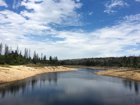
Odertal warmup route
Easy Hochharz mountainbike tour starting in Braunlage with beautiful scenery of the Oderteich and views to the Oder valley near Braunlage
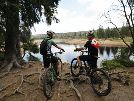
Overview of more routes and spots
Overview of all route suggestions and further insider information about mountainbiking in the Harz