
South-north mountainbike Harz-cross
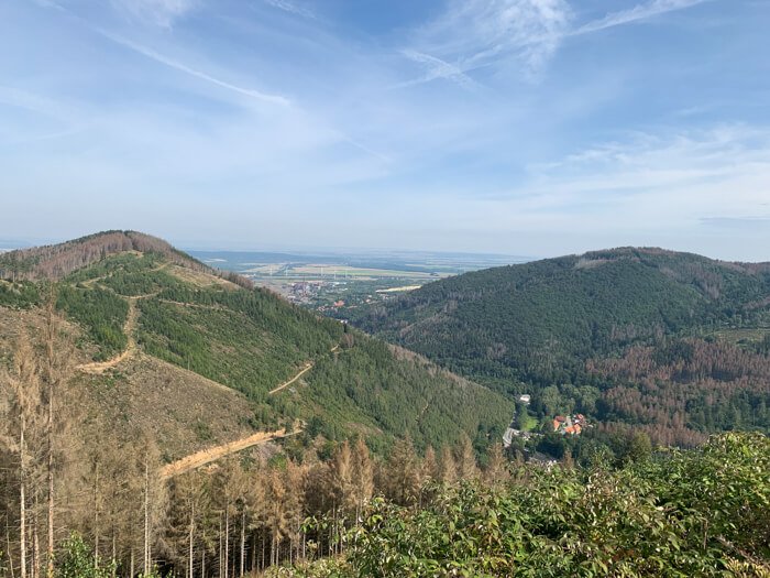
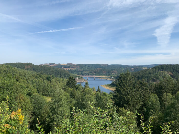
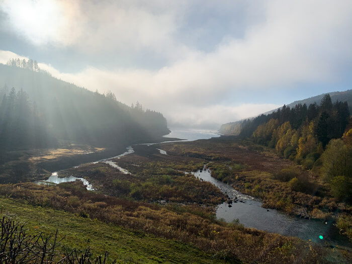
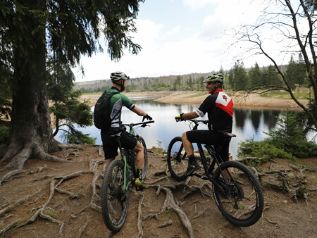
Physically demanding mountainbike crossing of the Harz mountains with steep climbs, fast descents and plenty of vertical metres: For warm-up, the route starts with small ascents and descents over Dietrichsberg-mountain and Polsterberg-mountain towards the Sösetal-valley. Along the water reservoire Söse-Talsperre, the route goes down the Sösetal-valley to the town of Osterode am Harz on the southern edge of the Harz. In Osterode the first long ascent begins with good percentages and leads from deciduous and mixed forests back to the spruce forests of the Oberharz. The Oberharz will bring more meters of altitude around the Innerstetal-valley near Wildemann and Lautenthal. Then it goes up to the highest peak of the day: The 726 meter high Bocksberg near Hahnenklee offers beautiful views to the Harz foreland. Down the mountain it goes now to the northern edge of the Harz to the city of Goslar. With views of the deep Okertal valley, there is a demanding last ascent before it goes downhill back to Schulenberg.






Data about this mountainbike route

Start and parking
This is a good address to start the tour. There is a larger parking lot nearby. Clicking on the address takes you directly to Google Maps to start navigation there:
GPS-Daten
The tour can be downloaded as a .gpx file and transferred to a GPS-enabled device (e.g. Garmin or smartphone). The tour starts near a larger parking lot. The route is planned so that it can be traveled all year round and in all weathers. Nevertheless, it can happen that due to occasional forestry work in the forest, paths are temporarily closed or have to be pushed in parts.
More routes in Schulenberg
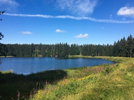
Little Oberharz route
Mountainbike route starting in Schulenberg with many ponds of the Oberharzer Wasserregal and lookout tower
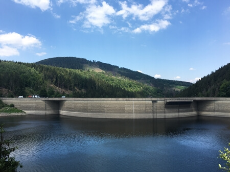
Schulenberg MTB summer route
Easy mountainbike tour through the nice landscape of the Oberharz and around the Oker dam near Schulenberg
Overview of more routes and spots
Overview of all route suggestions and further insider information about mountainbiking in the Harz