
Big Clausthal-Zellerfeld lap
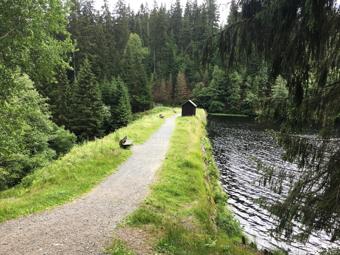
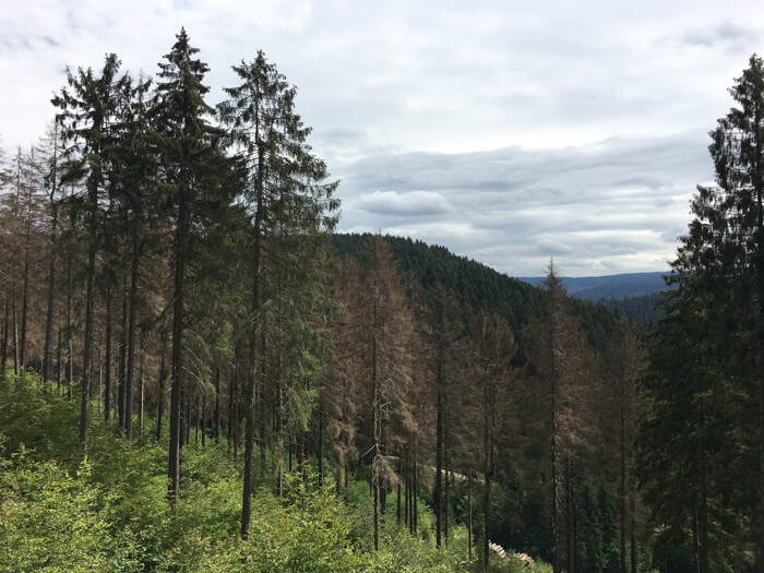
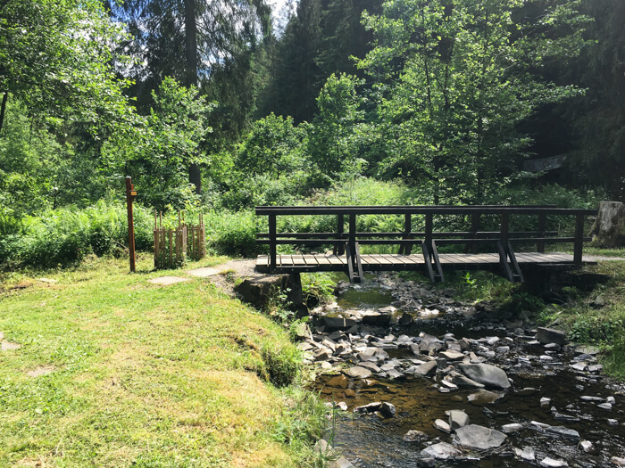
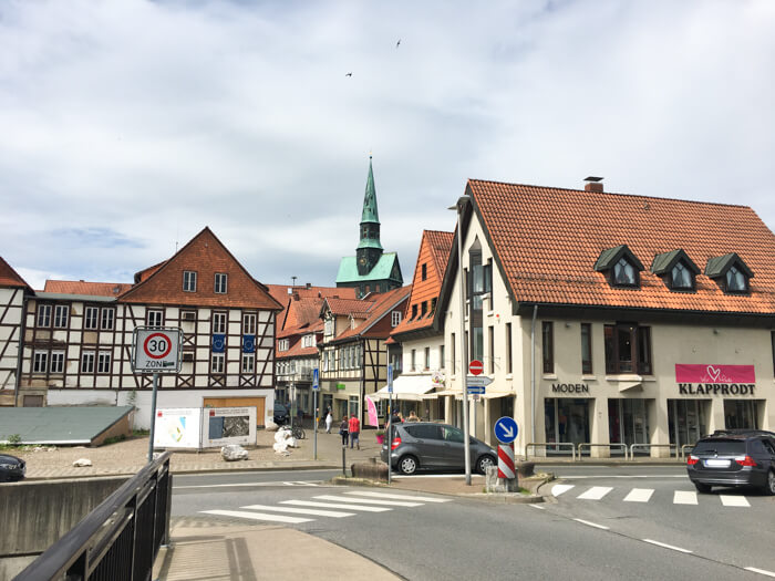
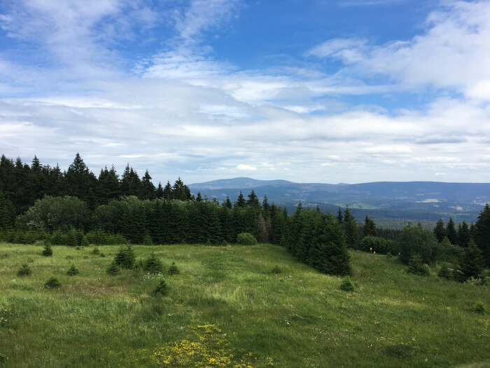
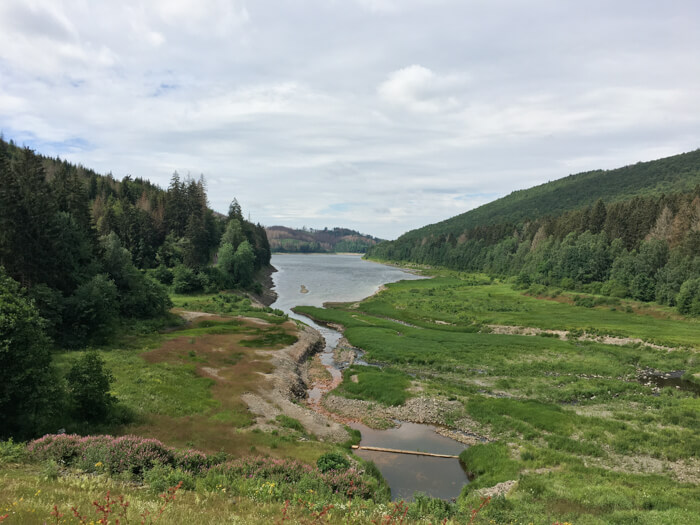
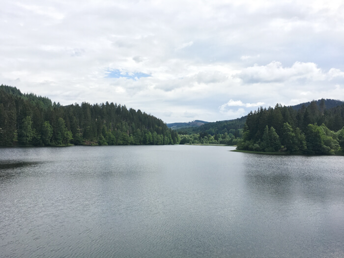
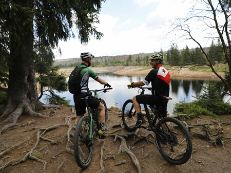
Mountainbike tour starting in Clausthal-Zellerfeld along the mountains of the Oberharz and beautiful water reservoirs: This tour makes a big lap around Clausthal-Zellerfeld. The tour begins with a small descent into the Innerstetal valley and follows the valley on the opposite side to reach a long, fast descent to Osterode. From there it goes through deciduous and mixed forest to the water reservoir Sösetalsperre and around it, before returning to the height level of Clausthal-Zellerfeld. Then it goes downhill through a small valley along a beautiful pond to Altenau and on an asphalt road around the deep blue water of the water reservoir Okertalsperre. The longest ascent of the route then leads to the Schalke mountain. From there there it is possible to have a beautiful view over the Oberharz and Hochharz before the last long descent to Wildemann starts. The last kilometer of the route leading back up to Clausthal-Zellerfeld.

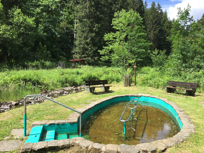
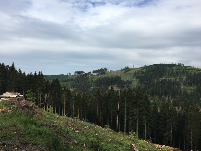
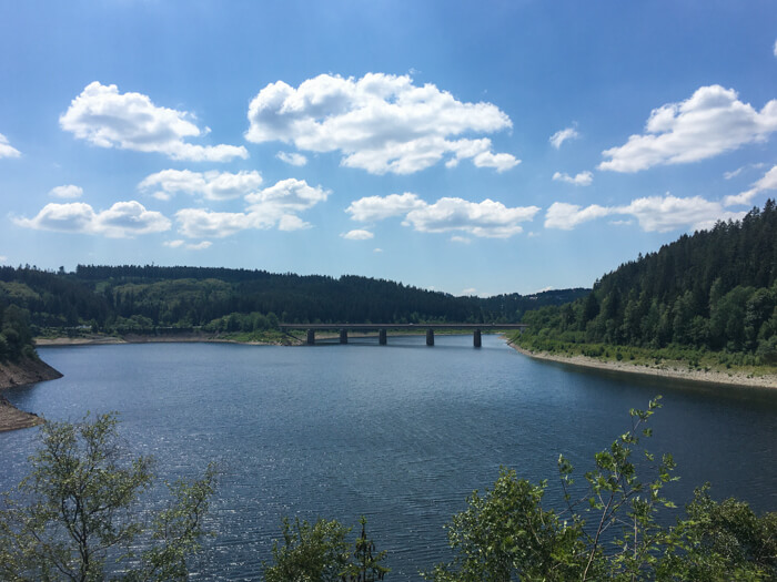
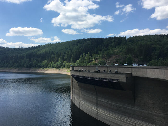
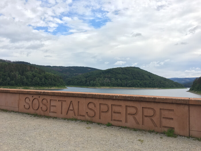
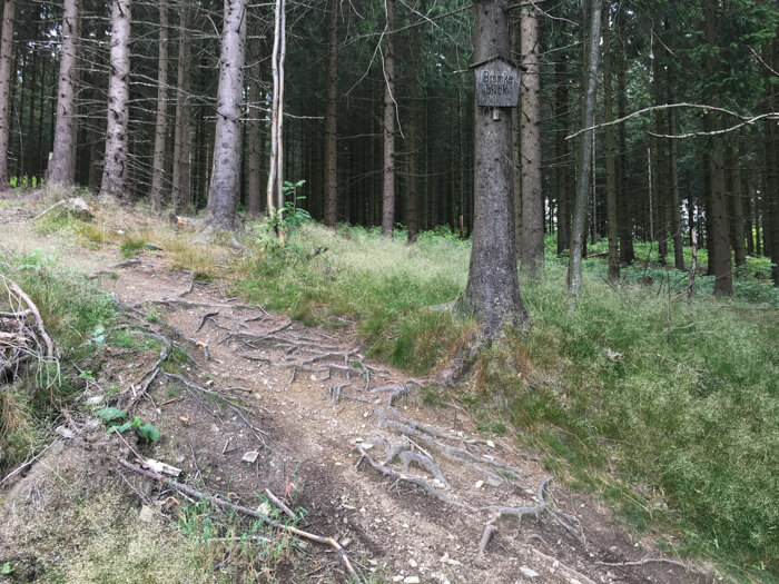
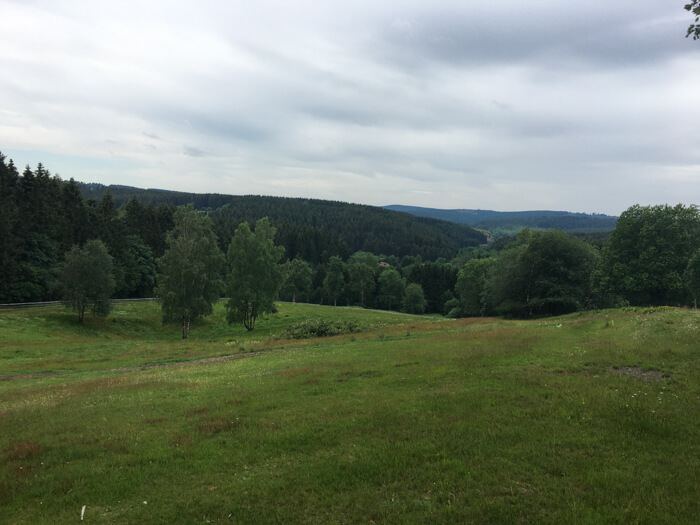
Data about this mountainbike route

Start and parking
This is a good address to start the tour. There is a larger parking lot nearby. Clicking on the address takes you directly to Google Maps to start navigation there:
GPS-Daten
The tour can be downloaded as a .gpx file and transferred to a GPS-enabled device (e.g. Garmin or smartphone). The tour starts near a larger parking lot. The route is planned so that it can be traveled all year round and in all weathers. Nevertheless, it can happen that due to occasional forestry work in the forest, paths are temporarily closed or have to be pushed in parts.
More routes in Clausthal-Zellerfeld
To Torfhaus and back
Mountainbike route from Clausthal-Zellerfeld to the Hochharz and back via various paths at the UNESCO World Heritage Oberharzer Wasserregal

Two valley cycling-tour
Mountainbike tour with start in Clausthal-Zellerfeld along several lakes, the Oberharzer Wasserregal and a waterfall
Overview of more routes and spots
Overview of all route suggestions and further insider information about mountainbiking in the Harz