
Hochharzer mining-canal route
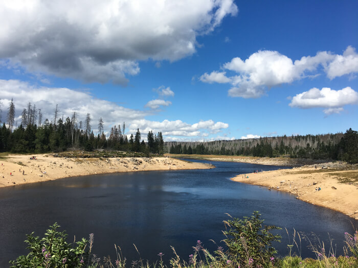
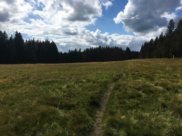
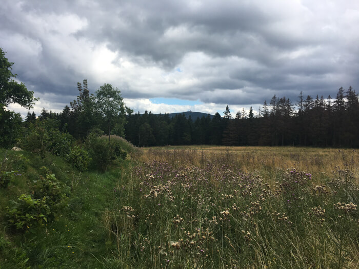
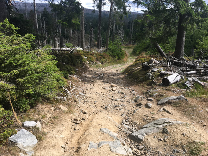
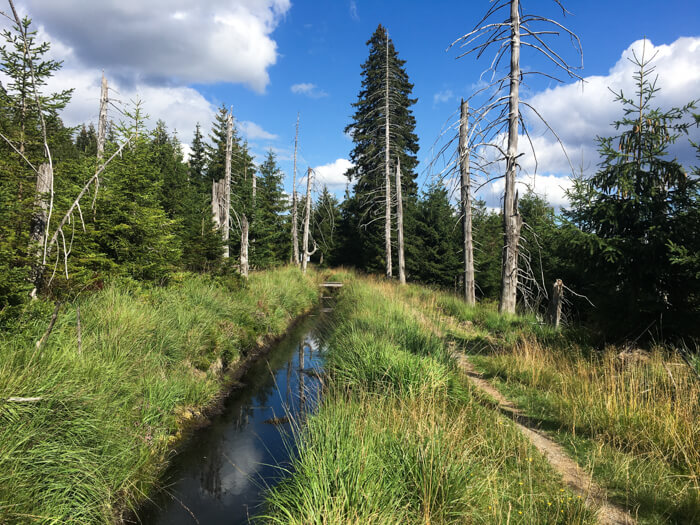
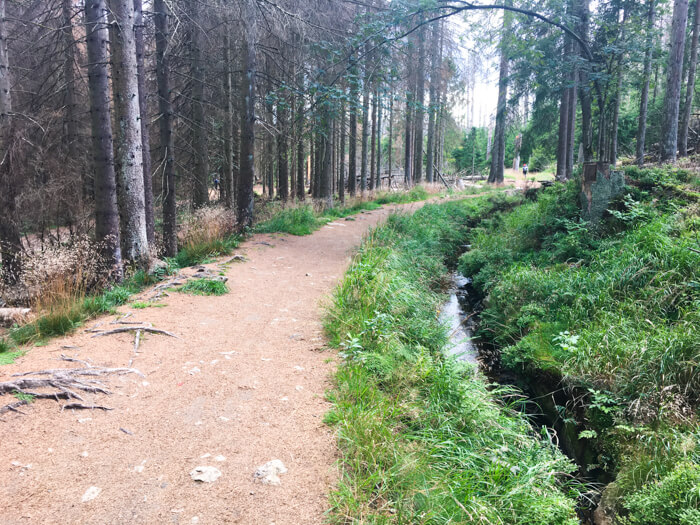
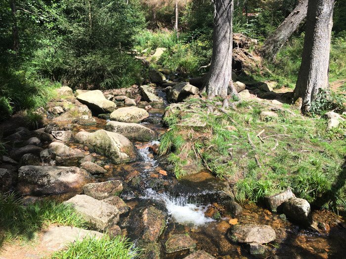
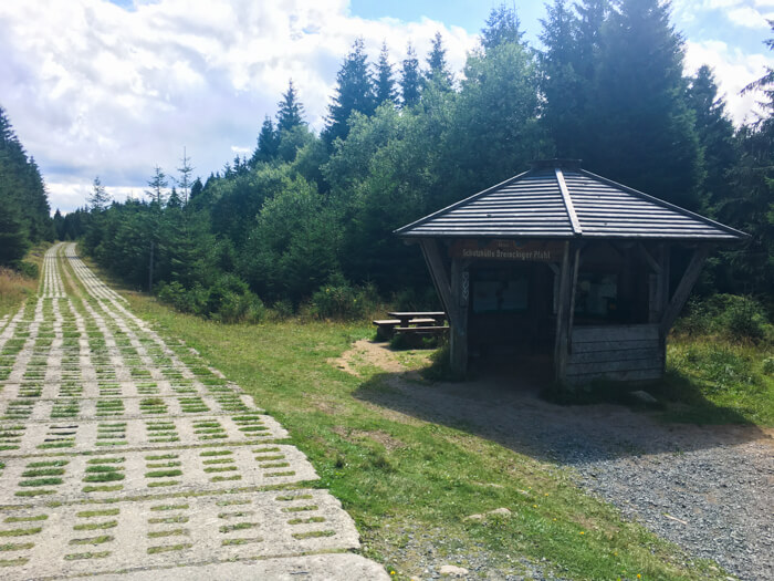
Beautiful mountainbike tour through the Nationalpark Harz with insights into the characteristic mountain landscape around Torfhaus: The tour starts along the Torfhaus moor on a path with a view to the Brocken in unspoilt nature. The Goetheweg continues up to the source of the Ecker River. The route now leads between the peaks of Wurmberg (971m), Achtermannshöhe (925m) and Rehberg (893m) through the beautiful landscape of the Hochharz. With relatively little vertical meters, the path mostly runs along the deep valleys and offers several options for refreshments. The last kilometers of the route run on a towel-wide single trail: The approximately 4120 meter long Clausthaler Flutgraben exists since 1827 and is part of the UNESCO World Heritage 'Oberharzer Wasserregal'.
Data about this mountainbike route

Start and parking
This is a good address to start the tour. There is a larger parking lot nearby. Clicking on the address takes you directly to Google Maps to start navigation there:
GPS-Daten
The tour can be downloaded as a .gpx file and transferred to a GPS-enabled device (e.g. Garmin or smartphone). The tour starts near a larger parking lot. The route is planned so that it can be traveled all year round and in all weathers. Nevertheless, it can happen that due to occasional forestry work in the forest, paths are temporarily closed or have to be pushed in parts.
More routes in Torfhaus

Tough Brocken MTB-route
Demanding mountainbike route over the two highest mountains in the Harz mountains - Brocken (1,142m) and Wurmberg (971m)
Sperbehaier dam route
Mountainbike tour with a start in Torfhaus, a long descent and insights into the UNESCO world heritage Oberharzer Wasserregal
Overview of more routes and spots
Overview of all route suggestions and further insider information about mountainbiking in the Harz