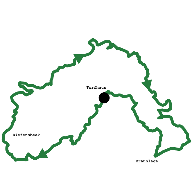
Tough Brocken MTB-route
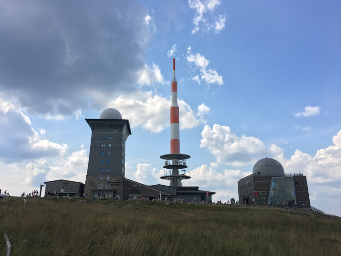
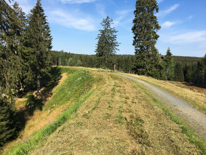
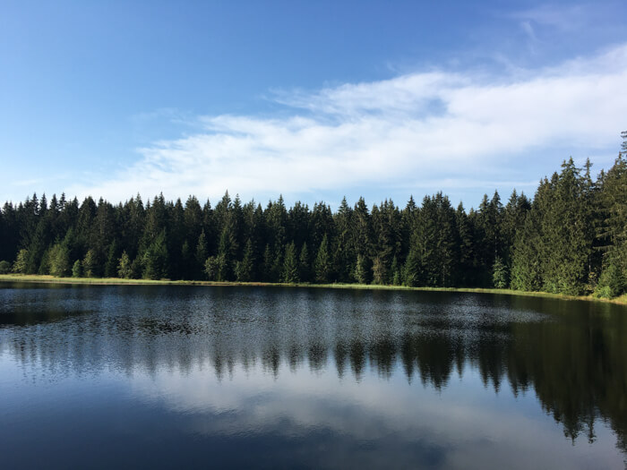
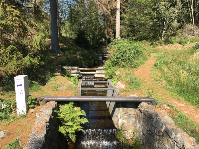
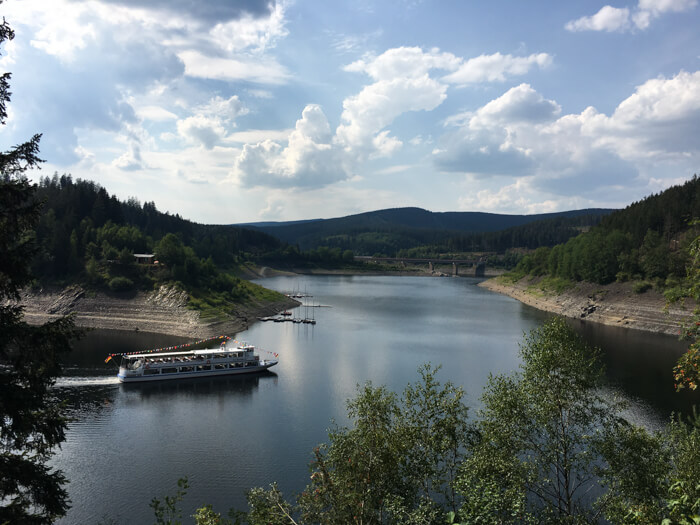
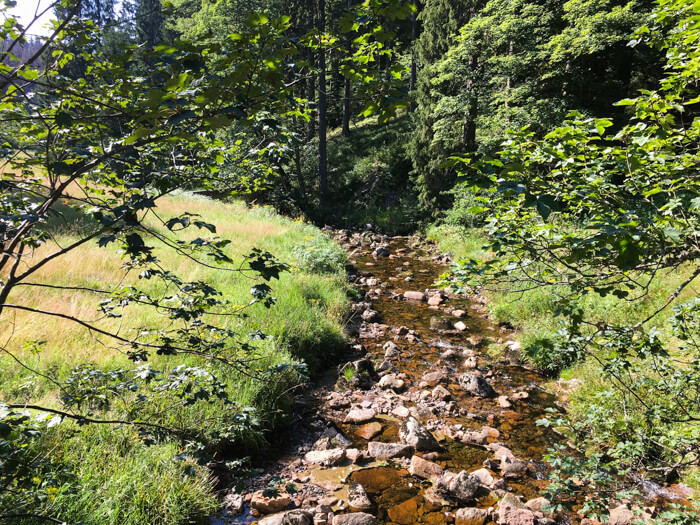
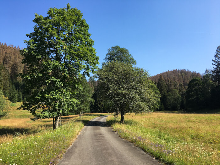
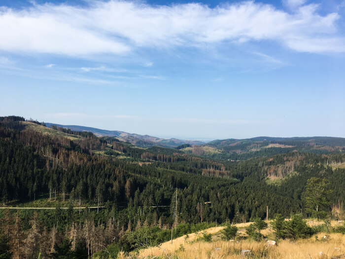
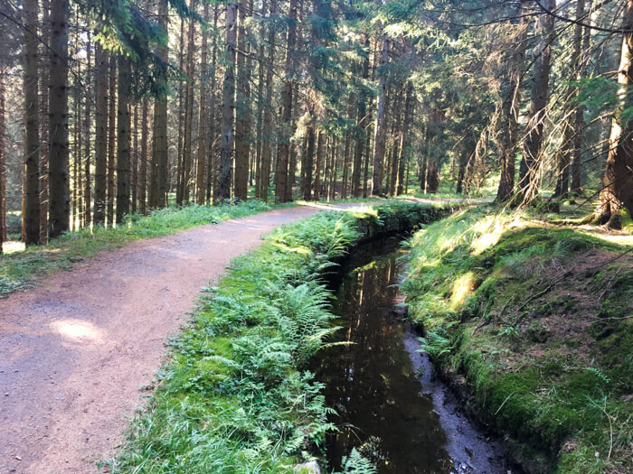
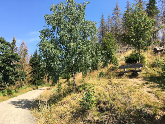
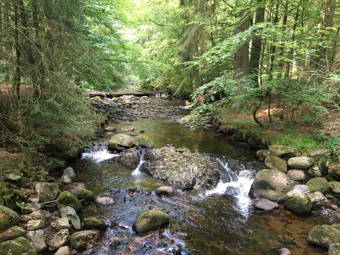
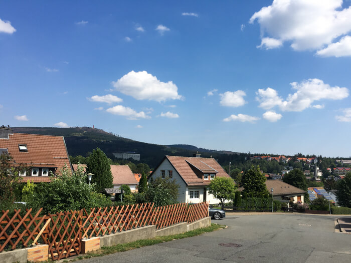
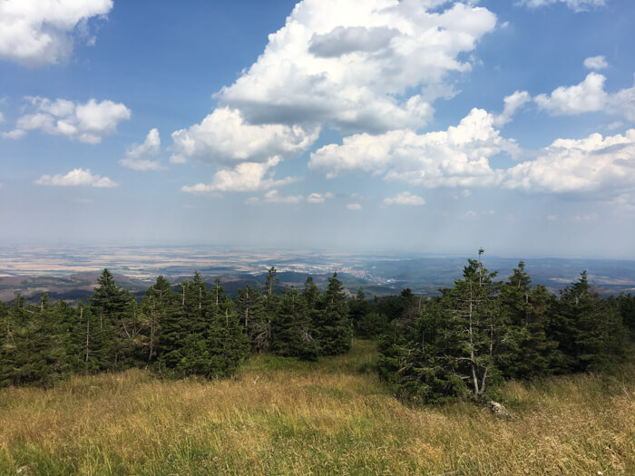
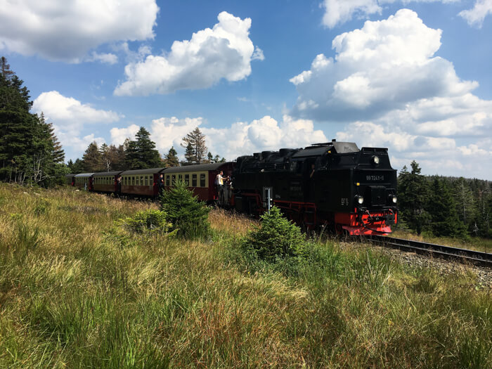
Demanding mountainbike route over the two highest mountains in the Harz mountains - Brocken (1,142m) and Wurmberg (971m): The tour begins behind Torfhaus with a single trail in the beautiful landscape of the Hochharz and views to the Brocken. After a short descent, it goes over the Acker mountain to the water reservoir Sösetalsperre, where wonderful views to the regions of the Oberharz are possible. In the Oberharz itself, the route goes along several ponds of the UNESCO World heritage 'Oberharzer Wasserregal', on an old railway line and along the dark blue water reservoir Okertalsperre. The long climb to the Brocken begins after about half of the route. Wide views to the Harz foreland are possible before the 1,142-meter-high summit of northern Germany's highest mountain is reached. The ascent is rewarded with an approximately 15-kilometer descent before a final steep ascent to the highest mountain in Lower Saxony (Wurmberg) follows. The route leads downhill through the untouched nature of the Nationalpark Harz back to Torfhaus.
Data about this mountainbike route

Start and parking
This is a good address to start the tour. There is a larger parking lot nearby. Clicking on the address takes you directly to Google Maps to start navigation there
GPS-Daten
The tour can be downloaded as a .gpx file and transferred to a GPS-enabled device (e.g. Garmin or smartphone). The tour starts near a larger parking lot. The route is planned so that it can be traveled all year round and in all weathers. Nevertheless, it can happen that due to occasional forestry work in the forest, paths are temporarily closed or have to be pushed in parts.
More routes in Torfhaus
Sperbehaier dam route
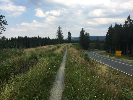
Mountainbike tour with a start in Torfhaus, a long descent and insights into the UNESCO world heritage Oberharzer Wasserregal
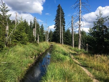
Hochharzer mining-canal route
Beautiful mountainbike tour through the Nationalpark Harz with insights into the characteristic mountain landscape around Torfhaus
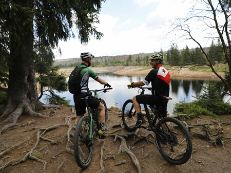
Overview of more routes and spots
Overview of all route suggestions and further insider information about mountainbiking in the Harz